Why the Maps of London, Tokyo, New York, and Other Major Cities Look the Way They Do
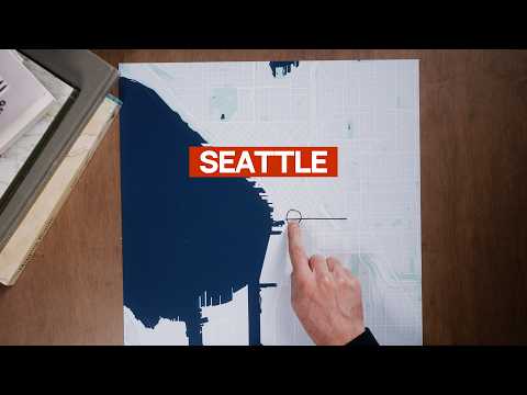
Why the Maps of London, Tokyo, New York, and Other Major Cities Look the Way They Do If you’re trying to understand a city, its map isn’t a bad place to start. Today, of course, we can call up an accurate map of practically any part of any city at any time we like, with detailed point-to-point directions available on command. Turn on the satellite view, street view, or 3D mode with its offer of every imaginable point of view, and you soon feel you’re engaging with less a representation of the city than the city itself. Yet the familiarity this makes us feel we possess is deceptive, a realization that comes afresh whenever our phone runs out of battery, leaving us barely able to find our way through even neighborhoods we’d thought we knew. Sheer habit can get us between the places we frequent, but that’s a far cry indeed from understanding the city as a whole. That last is just what YouTuber Daniel Steiner attempts to do in his series of map explainers, which draws conne
Know someone who'd love this clip?
Share it with friends and fellow fans.